ApisAero
Cockpit-grade navigation for civil aviation
A navigation app for civil aviation — live flight instruments, route planning, thousands of map objects, and real-time air traffic via ADS-B — with the entire mobile build owned by a single engineer in Kotlin Multiplatform.
- Industry
- Civil aviation
- Services
- Mobile development, Real-time systems, Hardware integration
- Stack
- Kotlin Multiplatform, ADS-B hardware link, High-performance map rendering
- Year
- 2025–2026

The challenge
A pilot's device has no patience for jank: instruments must read true at speed, and a map carrying thousands of geozones, markers, and live traffic has to stay smooth through hours-long flights with the app working hard in the background. Aviation software earns trust by never stuttering.
The approach
- 01
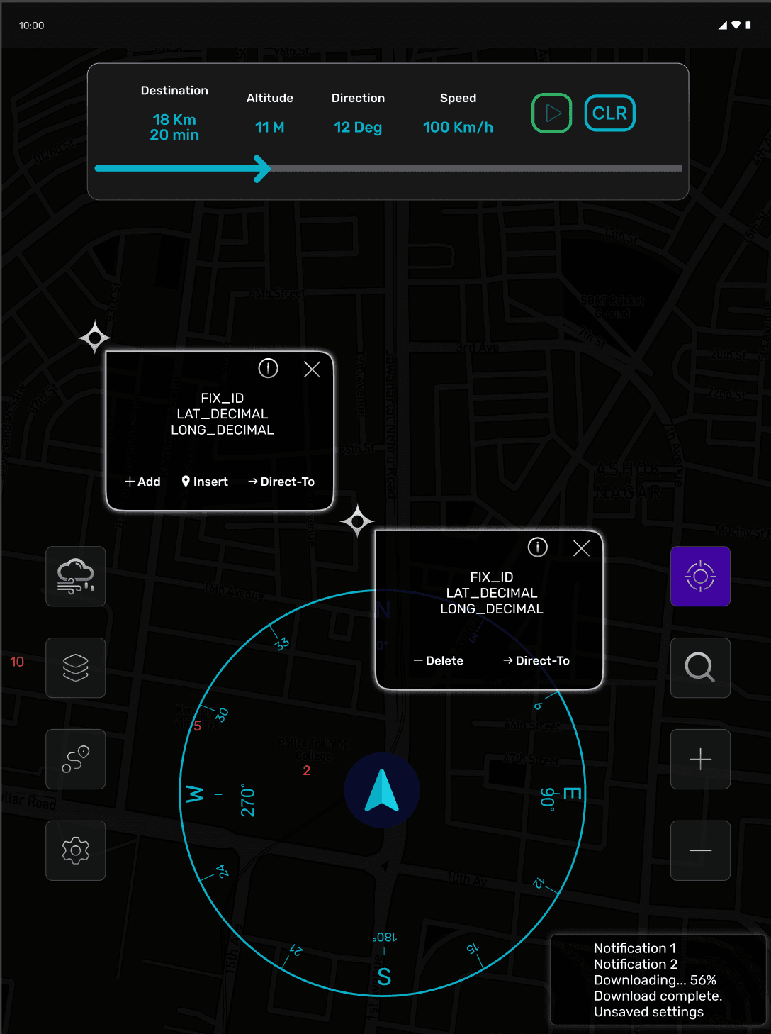
Live flight instruments — speed, altitude, heading, and route progress — rendered in real time from onboard sensors.
- 02
Route planning built for real flights: compose, save, and load routes in seconds.
- 03
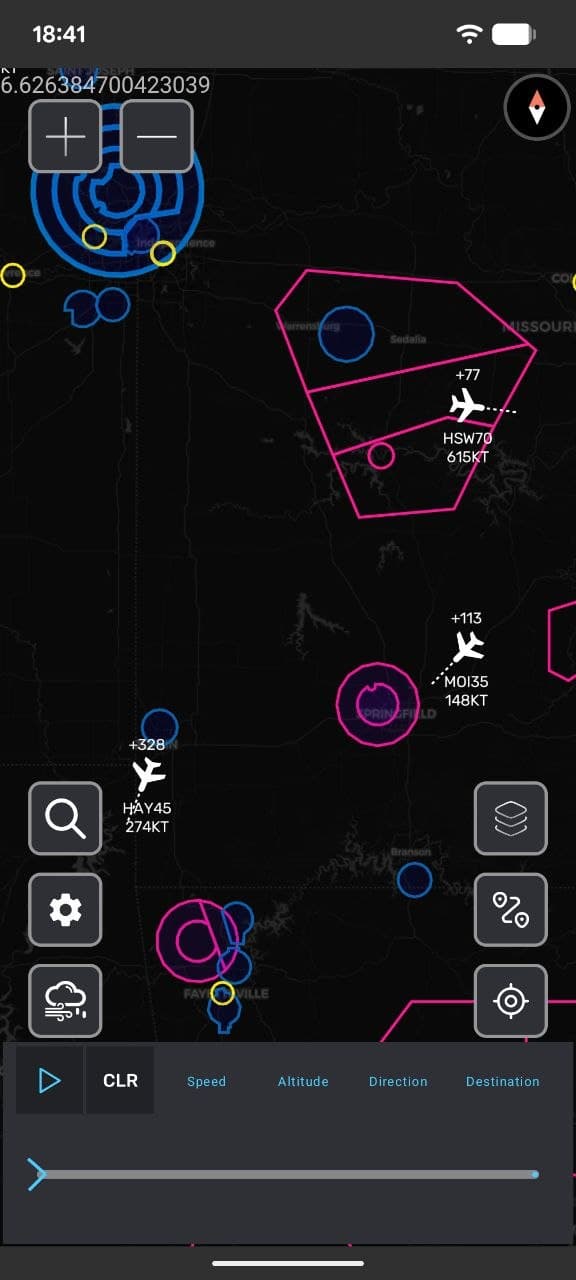
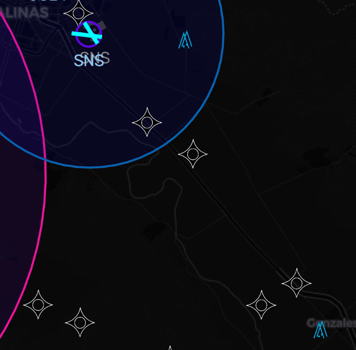
A map engineered for scale: thousands of geozones and markers kept fluid through lazy loading, background processing, and tight memory management.
- 04
Live air traffic via direct connection to ADS-B receivers, with weather, wind, and runway data layered onto the map.

The outcome
Shipped as a production app with one engineer owning the entire mobile build — a single Kotlin Multiplatform codebase spanning instruments, high-performance mapping, and hardware connectivity. Deep, performance-critical mobile work doesn't need a big team; it needs the right one.
Context
Shipped production aviation software — sole mobile engineer on the product.
Solo mobile developer — architecture, mapping performance, sensors, and ADS-B connectivity, in Kotlin Multiplatform
Building something in this space?
Let's TalkNext project

TeleConsole
Your office phone system, off the desk